UN
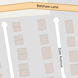
5 Dale Avenue
£ 53,600
Description
We don't have a Description for this property.
- Bedrooms
- 3
- Bathrooms
- 0

Leaflet © OpenStreetMap contributors
The heatmap indicates the level of crime in the area. The color of the heatmap indicates the crime severity and recency.
Metrics Year-on-Year
- Average area value
- 515,185.00 £Decreased by 4.78 %
- Average area rental value
- 2,323.00 £/moIncreased by 26.66 %
- Est rental Yield
- 5.41 %Increased by 32.92 %
- Crime Rate
- 19.00 %Unchanged by 0.00 %
from 541,026.00 £
from 1,834.00 £/mo
from 4.07 %
from 19.00 %
Nearby Schools
| Name | Type | Ofsted | Distance |
|---|---|---|---|
| Balshaw Lane Community Primary School | Community School | Outstanding | 0.62 KM |
| Euxton Church Of England Voluntary Aided Primary School | Voluntary Aided School | Outstanding | 0.89 KM |
| St. Mary'S Catholic Primary School Euxton | Voluntary Aided School | Outstanding | 0.98 KM |
| Euxton Primrose Hill Primary School | Community School | Outstanding | 1.89 KM |
| Lancashire College Of Adult Education | Miscellaneous | 2.20 KM |
Images
Nearby Streets
| Name | Average Price | Average Sqft | Distance |
|---|---|---|---|
| Coniston Avenue | £ 210,000 | 0 | 0.00 KM |
| Brookside | £ 0 | 0 | 0.00 KM |
| Apple Tree Close | £ 590,000 | 0 | 0.00 KM |
| Birkdale Close | £ 0 | 0 | 0.00 KM |
| Wentworth Drive | £ 260,000 | 0 | 0.00 KM |
Nearby Transport
| Name | NLC | TLC | Distance |
|---|---|---|---|
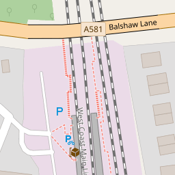
| Euxton Balshaw Lane | 2080 | EBA | 0.19 KM |
| Buckshaw Parkway | 7501 | BSV | 1.79 KM |
| Leyland | 2710 | LEY | 4.67 KM |
| Chorley | 2745 | CRL | 4.88 KM |
| Lostock Hall | 2689 | LOH | 7.36 KM |
Nearby Listings
| Address | Price | Type | Score | Distance |
|---|---|---|---|---|
| Pennine Avenue, Euxton | £ 219,995 | BUY | Unknown | 0.04 KM |
| Pennine Avenue, Euxton, Chorley | £ 219,995 | BUY | 6 / 10 | 0.10 KM |
| Balshaw House Gardens, Euxton, Chorley | £ 299,995 | BUY | 6 / 10 | 0.20 KM |
| Balshaw House Gardens, Euxton, Chorley | £ 279,995 | BUY | 8 / 10 | 0.21 KM |
| Regency Gardens, Euxton | £ 115,000 | BUY | Unknown | 0.22 KM |
Nearby Properties
| Address | Price | Distance |
|---|---|---|
| 13 Dale Avenue | £ 107,000 | 0.00 KM |
| 23 Dale Avenue | £ 153,000 | 0.00 KM |
| 21 Dale Avenue | £ 146,000 | 0.00 KM |
| 5 Dale Avenue | £ 53,600 | 0.00 KM |
| 39 Pennine Avenue | £ 165,000 | 0.05 KM |